ROARING FORK BROADCASTING COMPANY

Two prominent water researchers and the state of Colorado disagree on the significance of new water use data published by the federal government in June.
The state claims the data confirms its argument that headwaters states use less Colorado River water during dry years. Meanwhile, former Colorado River Water Conservation District general manager Eric Kuhn and Utah State University professor Jack Schmidt say the data paints a more complex picture.
“Reclamation has worked extremely hard to bring the best cutting-edge science they can to a better and more accurate estimate of agricultural water use,” Schmidt said. “It’s just that the relationships that arise from better data are just as murky.”
The June data details the “consumptive” water use by “Upper Basin” states (Colorado, New Mexico, Utah and Wyoming) since 1971. It is meant to quantify all the water those four states have consumed in that period (see footnote * at story’s end).
The Bureau of Reclamation, the federal agency that manages most of the large dams on the Colorado River, has updated the data in five-year reports since 1971, but June’s report is different. This time, the bureau collected the data using a new methodology.
The results are notable — past data seemed to indicate that Colorado and other Upper Basin states used more Colorado River water during dry years, directly contradicting Colorado’s arguments about its use. According to the state, the new data corrects that inconsistency.
This conclusion could be vitally important for Upper Basin states. The relationship between the Upper Basin’s water use and the natural water supply is a central component of its position in interstate negotiations over the river.
Located at the river’s headwaters, Colorado and other Upper Basin states argue that they already take “natural” water cuts in dry years. Without a large upstream reservoir to fall back on, these states say they rely heavily on yearly precipitation for their water supply, meaning drought years are already tough.
“As Commissioner Mitchell regularly says, ‘We cannot use what doesn’t exist,’” the state’s Colorado River communications specialist, Michael Sakas, wrote in an email to the Aspen Daily News. Becky Mitchell is Colorado’s official negotiator on Colorado River matters.
The argument foundered on the fact that the reclamation bureau’s consumptive use data didn't support it. In 2022, three notable water researchers — Kuhn, Schmidt and University of New Mexico professor John Fleck — published a blog post laying out the disconnect between the federal government's numbers and Colorado’s claims. In their piece, the three researchers wrote that while certain parts of the Upper Basin certainly cut their use in dry years, the basin’s overall use did not reflect that anecdotal reality.
“When one considers the regional scale of the entire Upper Basin, the argument (of natural losses) is not supported by the data in the Bureau of Reclamation’s Consumptive Uses and Losses reports,” the authors wrote. “Our review of those data suggests that, on average, overall Upper Basin use is slightly greater in dry years, and less in wet years.”
According to bureau data cited in their article, the Upper Basin used an average of 50,000 acre-feet more in the five driest years since 2000 than in the five wettest. Dry years averaged 4.06 million acre-feet, while wet years averaged 4.01 (**).
“Lower Basin interests can do the same math we have,” the authors wrote. “They almost certainly already have. That leaves the Upper Basin with a fragile foundation for entering the negotiations over the compromises that are certain to be needed to modify the Colorado River’s allocation rules in the face of climate change.”
At the time, the three researchers defended their use of frequently criticized bureau data because it was the “best” data available.
By contrast, June’s data shows the Upper Basin using an average of 200,000 acre-feetlessin the five driest years than the five wettest. The basin used 3.8 million in dry years and 4 million in wet ones.
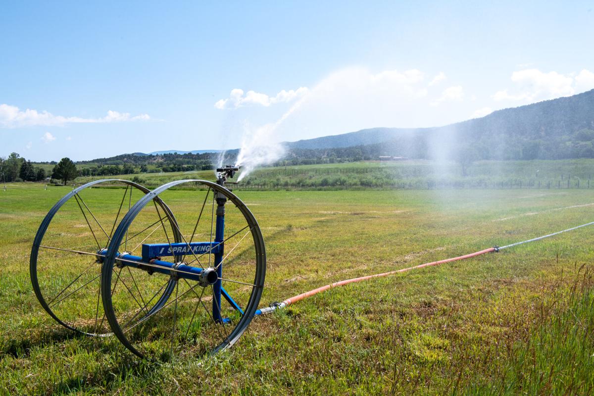
A sprinkler irrigates a field near Thomas Road in Carbondale.
Jason Charme/Aspen Daily News
Upper Basin states have been working with the bureau to update its methodology for consumptive use data collection since 2014. In 2022, the four states and the bureau agreed to use the “eeMETRIC” model for future reports. The new program replaced the modified Blaney-Criddle model, which the four states called “outdated” and “inaccurate.” In particular, the new model measures agricultural irrigation, the large majority (around 70%) of the Upper Basin’s overall consumptive use.
The eeMETRIC model relies on satellite imagery and ground-based measurements for weather data to estimate the amount of water that crops suck out of the ground and then emit from their leaves. That data allows analysts to understand how much irrigation water the crops consume and how much might be flowing back into a river system through the ground. The old model did not use expansive ground-based weather measurements, relying solely on land temperature measurements.
“We built up what we call an extended weather network. So, there are 69 weather stations that measure all those parameters to help us tune the data that’s used by the new method,” said Jim Prairis, chief of the reclamation bureau’s Upper Colorado Basin Research and Modeling Group.
The bureau applied the new methodology to 32 years of previous consumptive use data for the Upper Basin.
Kuhn and Schmidt, however, don't see that the data paints a clear picture. Reached on July 11, the two researchers said the data doesn't directly contradict the state’s arguments as it did in the past but it also doesn't support them at first blush.
“The (picture created by the data) remains as murky as it did before,” Schmidt said, “but it may be because there are lots of devils in lots of details.”
Schmidt said the new data does not generate a statistically significant relationship correlating wetter years with more Upper Basin use. Instead, Schmidt and Kuhn argued that the data tell a more complicated story. Kuhn pointed out that while the Upper Basin uses less in dry years on average, it also uses more in some dry years. In particular, the Upper Basin amps up its use during the first year of multi-year droughts before use plummets in the second year.
While the driest years involve lower use on average, two of the basin’s five highest-use years are also among the five driest. In addition, the basin seems to use the same amount in average years that it uses in dry years (3.8 million acre-feet).
One critical element in how analysts read these numbers relates to how they treat transmountain diversions (***).
The states have until the end of 2026 to reach a negotiated agreement on how the reservoirs should be operated. If they fail, the federal government will likely impose its own regime of cuts to save the reservoirs, possibly triggering litigation.
The two basins issued two conflicting proposals for maintaining the reservoirs in March. The Lower Basin offered to take significant cuts and prop up Powell and Mead in dry years, though they asked the Upper Basin to also take cuts in the most severe years. The Upper Basin rejected the idea of taking cuts at all, arguing that the Lower Basin has drained the reservoirs with overuse.
“Why are the [Upper Basin] states being asked to contribute to fixing a problem they did not create?” Sakas wrote in an email.
Whatever happens at the negotiating table, Kuhn said, the states likely will engage with each other on a more detailed level than they convey in public conversation.
“The data both supports and is inconclusive, depending on the details of the [Upper Basin] states’ public position,” Kuhn said. “But during the negotiations, I would expect that they will be dealing with this at a different level of technical understanding. The public position is one thing versus the negotiating position, which is going to be much more technical and more involved in the details of the data.”
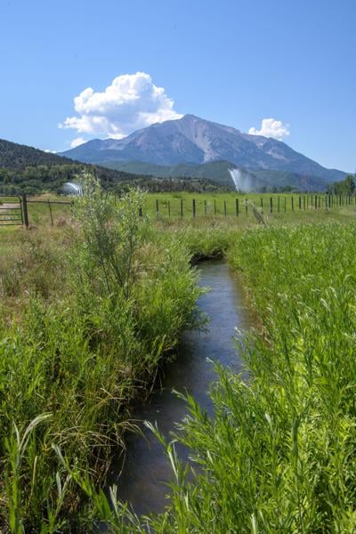
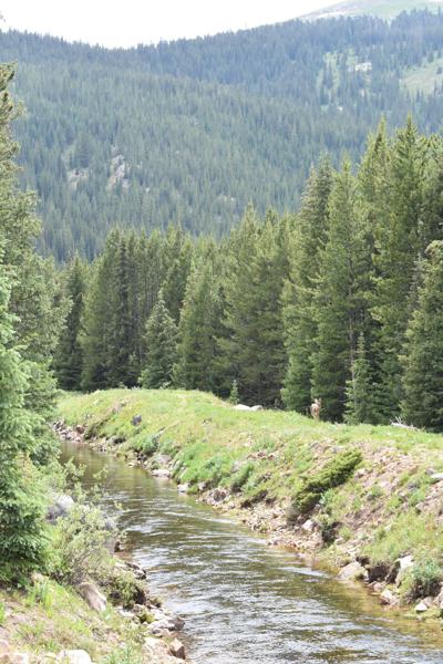
The Ella Ditch carries water from the Crystal River, a tributary of the Roaring Fork, to pastures near Carbondale. Jason Charme/Aspen Daily News
As a central part of their negotiating position on the Colorado River, Upper Basin states argue that they use less water in dry years than wet years because the natural precipitation in dry years doesn't meet their demand.
From the standpoint of raw supply and demand, this is untrue. In all the years identified as “dry years” by the state of Colorado during the last three decades, an average of about 4 million acre-feet has flowed out of the Upper Basin unused. The Upper Basin states do not intentionally cut their use to ensure that this water flows downstream, meaning that even in a shortage, the basin fails to use all the water available.
The reason for that failure lies in the Upper Basin states' geography. Individual regions of the basin have different stories. Some areas receive insufficient precipitation compared to others, and some are more vulnerable to calls from bigger water users in their watersheds.
While water users on the Yampa River had never faced intrastate water cuts until 2018, those cuts are routine on the main stem of the Colorado, where large water users like the Shoshone hydropower plant and Grand Valley irrigators make regular calls that shut off newer water rights in the region.
“Because of the heterogeneity of the Upper Basin, parts of the basin experience some level of shortage at different times, even when the overall basin is dry or wet on average,” Sakas wrote. “As the headwaters state, our supply is a response to our geography and availability of supply.”
If all the “sub-basins” within the Upper Basin engaged in their maximum consumptive use, Sakas told the Aspen Daily News, the entire basin would use about 5.2 million acre-feet in a year (about 1 million acre-feet above its 30-year average). While that amount of water has occurred every year in the basin, the Upper Basin states have never reached that level of use because of geographic constraints.
In some instances, Upper Basin states have overcome those geographical constraints through engineering. Across the four states, transmountain diversions move water from the Colorado River watershed to other areas where water is scarcer. Areas suffering a shortage in dry years are regions without the political clout, resources or economic importance to either pipe water in from places where it's more abundant or purchase more powerful water rights.
At least a large part of these shortages arises from the internal political and geographic limitations of the Upper Basin’s water use regime, not from a simple lack of quantitative supply.
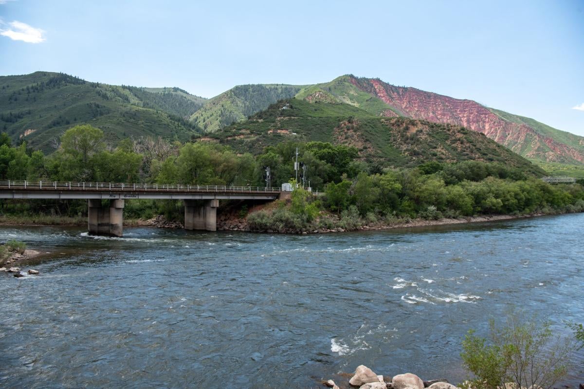
The Roaring Fork River meets the Colorado in Glenwood Springs. The Roaring Fork contributes an average 10% of the Colorado’s annual flow, according to the Basalt-based Roaring Fork Conservancy.
Jason Charme/Aspen Daily News
The Aspen Daily News asked Sakas whether the Upper Basin’s geographical and infrastructural constraints are its own problem and are not relevant to the conversation of how much water each basin should contribute to maintaining the reservoirs.
“The geography of the Upper Basin has not changed since 1922 and has always been relevant to the Law of the River. Geography and infrastructure are also absolutely relevant in the Lower Basin, where the nation’s two largest reservoirs sit upstream of their mainstream demand,” Sakas responded.
* Consuming water is different from using it. Consumptive use involves taking water out of the system and not putting it back — irrigation water that crops absorb into themselves is consumptive use. Non-consumptive use involves using water before returning it to the river. Water released from a dam for hydropower production and irrigation water that flows back to a river without being absorbed by crops are examples of non-consumptive use.
** These figures, and all other consumptive use figures mentioned, exclude evaporation from Colorado River Storage Project reservoirs.
*** One way for the Upper Basin states to make their case stronger is to change the way the Bureau of Reclamation accounts for consumptive use in transmountain diversions, or TMDs — the tunnels that carry water from inside the Colorado River Basin to cities and farms outside the basin (there are two that take water out of the Roaring Fork watershed and send it to the Front Range). There is a gray area in which the actual “consumption” takes place for TMDs that have storage reservoirs at their intakes. Colorado and Upper Basin states would like to say consumption occurs when they take water from the river system and put it in the reservoirs while the reclamation bureau currently sees consumption occurring when the water leaves the reservoir and enters the tunnel. Using the Upper Basin states’ preferred method, the basin’s consumptive use changes to 4.5 million acre-feet in wet years, 4.1 in average years and 3.9 in dry years, making a much stronger case for the argument that the basin uses less in dry years.