ROARING FORK BROADCASTING COMPANY

The Thanksgiving week snowstorm brought about “close to historic” avalanche activity in the area, according on one backcountry forecaster.
Dylan Craaybeek of the Colorado Avalanche Information Center gave a presentation at the Marble Fire Station on Saturday hosted by West Elk Mountain Rescue to backcountry skiers and the general public about the state of the slopes. Colorado Stone Quarries Safety Manager Daniel Penfield also provided an update for those looking to access Quarry Road for backcountry skiing.
After the heavy snowfall that came on Nov. 26, more than 800 avalanches were recorded across the state that day and the next, with around 300 of them in the Roaring Fork and Crystal River valleys and surrounding areas. Some were of significant size and destructive power.
“It was a really impressive, really big natural avalanche cycle for November,” Craaybeek said on Saturday. “Maybe not the most historic storm, but how this played out turned into a somewhat historic November for us. I don’t think, in my time, I’ve seen that many large to very large avalanches before it’s even December.”
CAIC logged 997 avalanches through Nov. 30 of the current snow season. Only 197 avalanches were recorded across the state through the same date of last year’s season.
The storm brought snow water equivalent (SWE) totals — the amount of water in the snow, measuring depth and density — from 89% of the median for that point in the season to well above average: 133%. In less than four days, 4.1 inches of SWE totals fell in the area. Craaybeek said that 1 inch of SWE is typically the equivalent of 10 to 12 inches of snowfall.
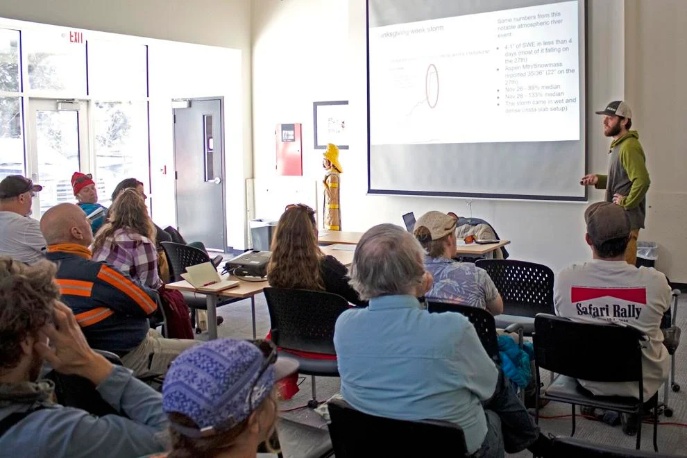
Colorado Avalanche Information Center Avalanche forecaster Dylan Craaybeek presents during a workshop at the Marble Fire Station on Saturday. Craaybeek said that November was “somewhat historic” for avalanches.
Rich Allen/Aspen Daily News
But the snow on Thanksgiving week was particularly wet and dense, Craaybeek said: 1 inch of SWE added up to about 7-8 inches of snowfall. Falling quickly and on top of a weak snow surface base from previous storms — mostly from October storms that left snow but then sat during a dry spell — spelled an active avalanche scene. Weak layers, under duress, can collapse from the weight of overlying slabs of snow, leading to slab avalanches.
“Avalanches happen when there’s really rapid change. This was a really rapid change,” Craaybeek said. “We got a ton of weight added to the snowpack really quickly. This might be a pretty normal storm if it happened over the course of five days; almost all that weight got dropped in 36 hours.”
Of the 304 avalanches within the Aspen area, only five were human triggered — two controlled releases, two remotely and one released in sympathy with another avalanche.
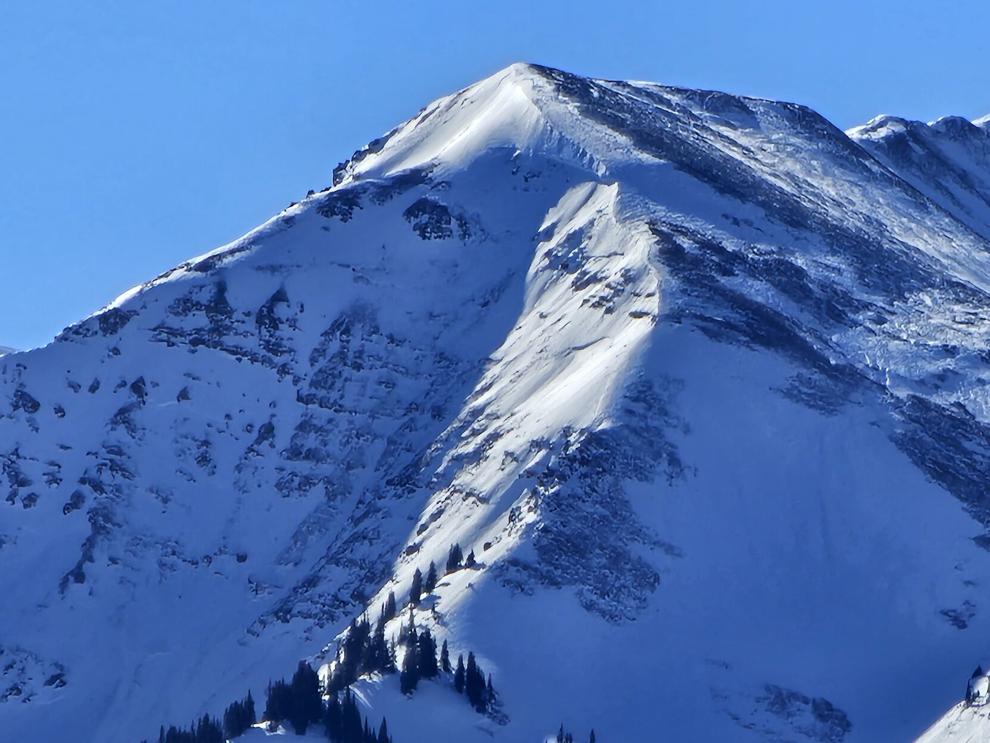
Two were rated D3, which are very large — they could bury and destroy a car, damage a truck, crush a wooden-framed house or break trees. One was on the north face of Ant Peak, the other was in the Capitol Creek area. Both happened on Nov. 27.
No injury or incident reports were filed in the state during that storm. Only one injury incident has been reported this season, on Dec. 3 north of Berthoud Pass.
CAIC noted that it is revamping its website to make all field reports on avalanches available to the public.
The Nov. 26-27 storm has been followed by a dry spell, and the SWE data has just about receded to the rolling 30-year annual median. On Sunday, CAIC downgraded the avalanche danger in the area to low for the first time since the storm.
When asked if the residual snow from the November storm has implications for the rest of the season, Craaybeek said it could, but it depends on other variables.
“Generally we don’t like to see early season snow and then long dry spells, because a lot of times that’s what will create these persistent weak layers,” Craaybeek said. “Across a lot of areas, we have a pretty good snowpack for early December, and, again generally speaking, that probably makes it less likely we’re going to develop super-concerning weak layers that last throughout the winter like we often see in Colorado.
“I’d say it’s a good thing for snowpack stability when we get quite a bit of snow pretty consistently without any extended dry spells, but now we’re in almost an extended dry spell and that is starting to create some weak layers. Until we see how the next couple weeks play out, it’s going to be hard to tell exactly how this new weak layer is going to behave,” Craaybeek continued.
He added that regardless of conditions, anyone going out into mountain backcountry should check weather and avalanche forecasts.
“It’s important to at least have a base understanding of what the conditions are out there before you head out,” Craaybeek said. “It only takes a few minutes to read the avalanche forecast and get a good idea of what’s going on that day.”